Overview of Australia
General Geography People Government Economy Communications Transportation Military
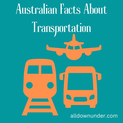
Australian Transportation
Transportation in Australia is used by road, rail, air and sea. These modes of transportation connect the country’s cities, towns and rural communities through a network of highways and freight rail lines.
See also on our website – Australian Road Distances Australian Trains & Railways Australian Car Links
| Airports with paved runways (2010) | total over 3,047 m 2,438 to 3,047 m 1,524 to 2,437 m 914 to 1,523 m under 914 m | 326 11 13 148 140 14 |
| Airports with unpaved runways (2010) | total 1,524 to 2,437 m 914 to 1,523 m under 914 m | 139 17 110 12 |
| Heliports (2010) | 1 | |
| Railways | total broad gauge standard gauge narrow gauge dual gauge | 38,445 km (2010) 3,355 km 1.600-m gauge (2010) 21,674 km 1.435-m gauge (650 km electrified) (2010) 9,539 km 1.067-m gauge (2,067 km electrified) (2010) 230 km dual gauge (2006) |
| Roadways (2004) | total paved unpaved | 812,972 km341,448 km 471,524 km |
| Ports and terminals | Brisbane, Dampier, Fremantle, Gladstone, Hay Point, Melbourne, Newcastle, Port Hedland, Port Kembla, Port Walcott, Sydney | |
| Waterways (2006) | 2,000 km (mainly used for recreation on Murray and Murray-Darling river systems) | |
| Merchant marine (2010) | total | 45 ships |
| by type | bulk carrier 10, cargo 8, liquefied gas 4, passenger 6, passenger/cargo 6, petroleum tanker 6, roll on/roll off 5 | |
| foreign-owned | 20 (Canada 7, Germany 2, Netherlands 1, Norway 1, Singapore 2, UK 5, US 2) | |
| registered in other countries | 29 (Dominica 1, Fiji 2, Liberia 2, Marshall Islands 1, Netherlands 1, NZ 1, Panama 5, Singapore 11, Tonga 1, UK 1, US 1, Vanuatu 2) | |
| Pipelines | condensate / gas gas liquid petroleum gas oil oil / gas / water | 469 km (2007) 27,900 km (2010) 240 km (2010) 3,257 km (2010) 110 km (2007) |
Updated August 2011. You may notice that we show information from a variety of dates. We are unable to find the same type of information for more recent dates than what we show here. The information provided above is for entertainment purposes only. For more information, please visit any of the Australian government websites and the CIA World Fact Book