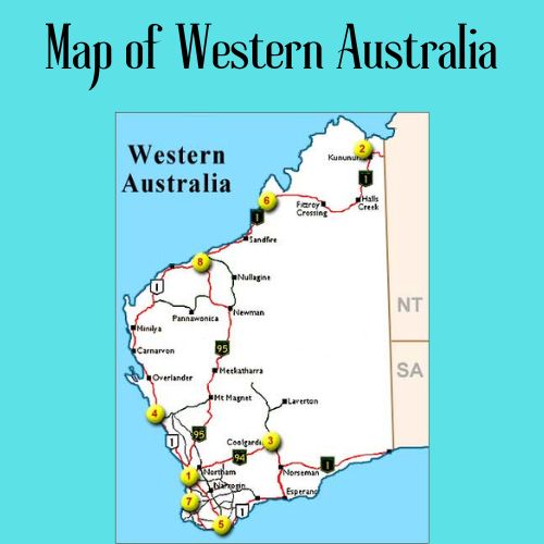
Map of Western Australia is a highly detailed wall map that covers the whole state of Western Australia, with the major cities highlighted.
Category: Australian Maps
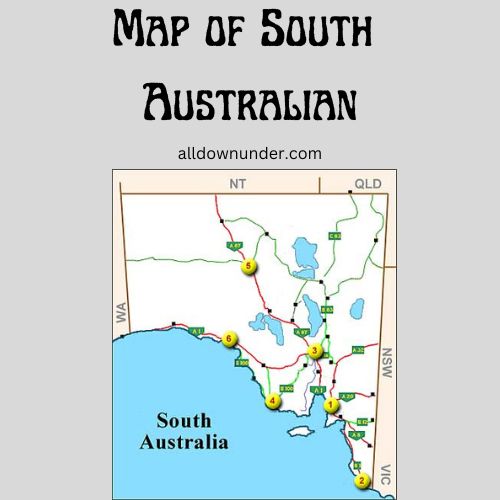
Map of South Australian is a map that shows the location of the state of South Australia. The map also shows some geographical features such as towns and cities
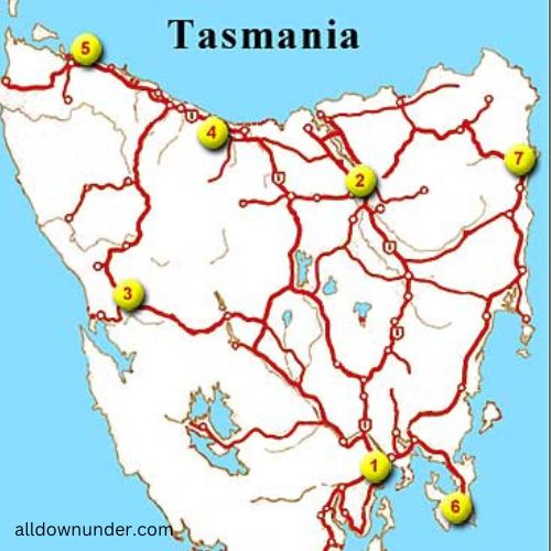
This map of Tasmania displays the entire state for a visual reference, including key cities and towns.
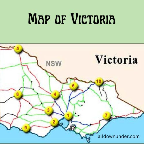
Victoria is a great place to visit and this map will ensure you have the most up-to-date information about the city.
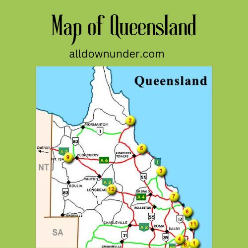
The Map of Queensland shows the geographical location of Queensland and its surrounding regions.
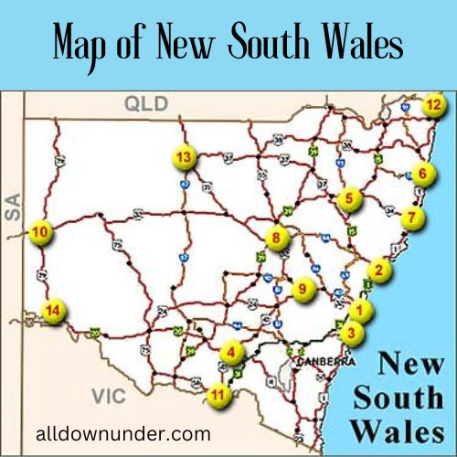
The state of New South Wales is Australia’s most populous and most visited state, with over 7 million people calling it home.
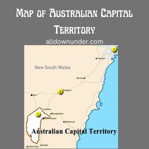
Map of Australian Capital Territory – Weather, Geography, Road Maps and Online Satellite Images of Australian Capital Territory
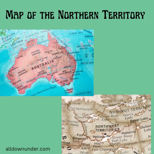
This map of Northern Territory is beautifully detailed and has many uses. It can be used for travel, holiday planning and much more!
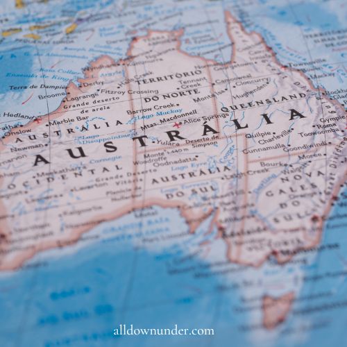
This article is about the Maps of Australian State, Territory and also it describes the facts and figures of an Australia
