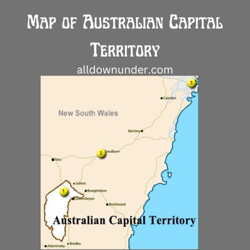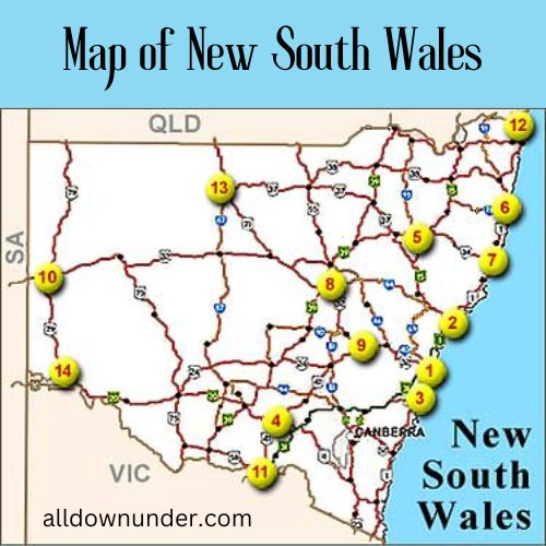
Maps of – Australian Capital Territory Tasmania Queensland New South Wales
VictoriaWestern Australia Northern Territory South Australia
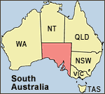
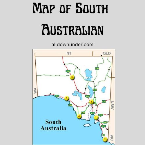
Map of South Australian is a map that shows the location of the state of South Australia. The map also shows some geographical features such as towns and cities
Weather in South Australia
Australian weather forecasts and current weather for South Australia. Includes a weather almanac with average highs and lows as well as rainfall for this time period for each of the cities listed.
Click on a city below for that city’s weather page.
1. Adelaide weather
(capital)
2. Mt Gambier weather
3. Port Augusta weather
4. Port Lincoln weather
5. Coober Pedy weather
6. Ceduna weather
Use the numbers on the map to get a general idea of where in South Australia the cities are located.